EARTHQUAKE TRAIL (1 km / 0.6 mi.)
A short paved loop explores the San Andreas Fault Zone. Interpretive signs describe the geology of the area. This trail begins at the southeast corner of the Bear Valley Picnic Area, just across the street from the Bear Valley Visitor Center.
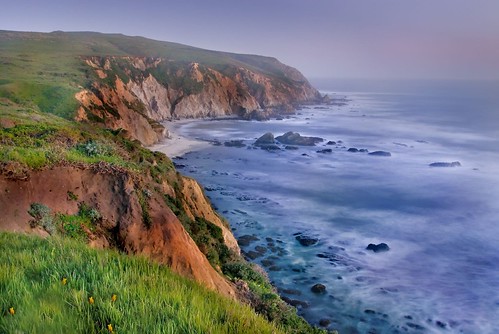
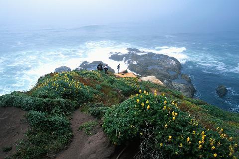
CHIMNEY ROCK TRAIL (2.5 km / 1.6 mi.)
A spectacular hike with views of Drakes Bay and the Pacific Ocean and renowned for great spring wildflowers. Rocky cliffs drop off steeply to the water, so there is no beach access. From January through May, look for migrating whales from the point. Fog and wind can make this hike challenging. Start this hike at the Chimney Rock Trailhead, near the Lighthouse, a 45-minute drive from the Bear Valley Visitor Center.

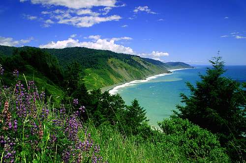
TOMALES POINT TRAIL (15 km / 9.5 mi.)
This open trail through the Tule Elk Reserve offers spectacular views of Tomales Bay, Bodega Bay, and the Pacific Ocean. It is also a prime wildlife viewing trail, as it is remote and the tule elk are enclosed in this reserve. The first 5 kilometers (3 mi.) to Lower Pierce Point Ranch are well marked and maintained, but the last stretch can be overgrown with bush lupine and other shrubs, so long pants and long sleeves are a good idea. The journey all the way to the Point is worth it, for the view is unparalleled. Fog and wind can limit visibility and make this hike more challenging. The Tomales Point Trailhead is at the end of Pierce Point Road, 40 minute driving time from Bear Valley.
Backpack Light
Arial Photos of Point Reyes
Hiking Trails
CHECK OUT THE LINKS! THEIR AMAZINGLY BEAUTIFUL PLACES

No comments:
Post a Comment